
Twin Cities Metro
Minneapolis, St. Paul and the suburbs of the seven-county metropolitan area.
Minneapolis asks owners to keep alleys clear to their 14-foot width, and its street use permits for storage containers are not valid during snow emergencies, so plan the delivery to a driveway or a private lot. St. Paul allows a container on the street only with a Public Works permit and asks that it come off the street when a snow emergency is declared. West of the core cities the ground is rolling with scattered lakes, and parts of southeastern Anoka and northwestern Washington counties have poorly drained and organic soils. A wet yard needs firm support under each corner before the truck sets the container down.
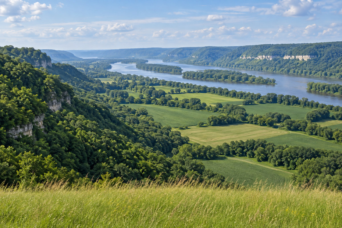
Southeast Minnesota
Rochester, Winona, Red Wing and the river bluff country along the Mississippi.
Along the Mississippi, the blufflands are steep valley walls and terraces, with valleys up to 600 feet deep and no natural lakes. Farther west, the Rochester Plateau is level to gently rolling, with well drained soils and sinkholes common in its southwestern part. A long, steep driveway or a narrow valley road can decide whether the truck reaches the container placement spot, so describe the grade and any sharp turns in the quote request. Rochester's Unified Development Code, Section 60.300.020H.6.b, restricts containers in Agricultural and Residential districts to sites containing a park, school or place of worship, with a maximum of six months per year. Section 60.300.020H.6.d also covers residential districts and sets a 14-day limit for temporary placement there and on properties with a residential primary use in Mixed Use districts. For construction of a new primary building or a major addition to an existing primary building, H.6.d specifies a placement period from issuance of the first building permit to issuance of the last certificate of occupancy or use for that building. Before arranging placement, ask Community Development at 507-328-2600 whether your site qualifies and how both provisions affect the placement period for your proposed use.
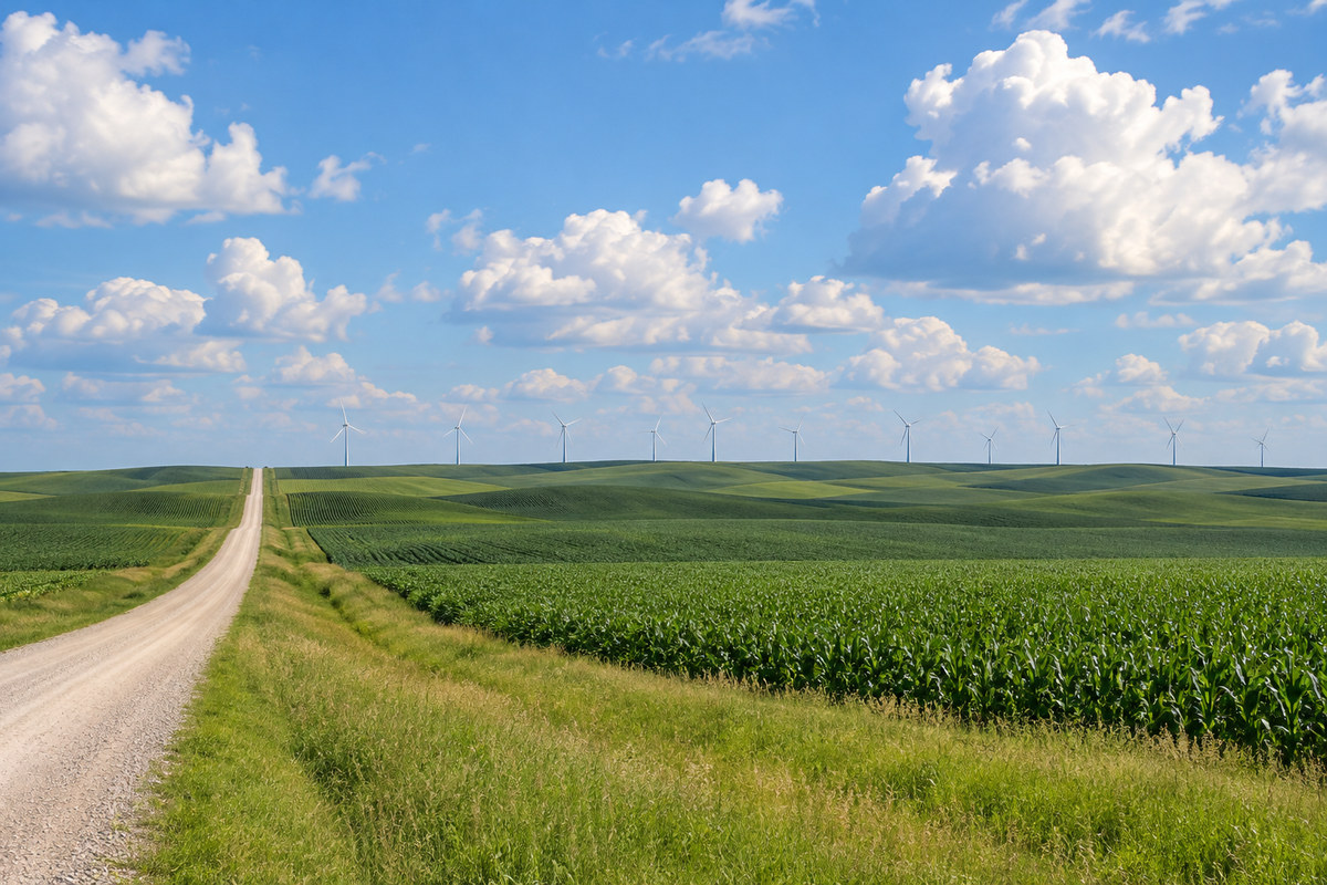
South Central and Southwest Minnesota
Mankato, New Ulm, Marshall, Worthington and the prairie farm country to the South Dakota line.
The Minnesota River splits this region from northwest to southeast, with river terraces along its valley and gently rolling ground on either side. In the southwest the land climbs to the Buffalo Ridge, an elevated area running southeast from the South Dakota border, and the soils are mostly well drained. For a farm site reached by gravel roads and field approaches, describe culverts, soft shoulders and the turn into the yard in the quote request. MnDOT posts spring load restriction dates for its South zone each year, and county roads carry their own limits.
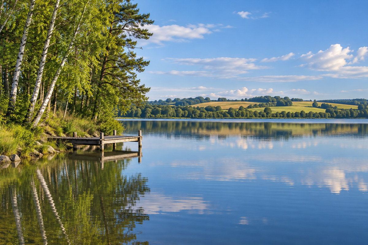
Central Minnesota
St. Cloud, Brainerd, Alexandria, Willmar and the lake country of central Minnesota.
Along the Mississippi north of the Twin Cities, the Anoka Sand Plain is flat and sandy, with well drained to excessively well drained soils and pockets of organic soil in old ice-block depressions. In northern Douglas County, the Hardwood Hills hold numerous kettle lakes on gently rolling to rugged ground. Check the driveway for at least 10 feet of width and 15 feet of driving height clearance. The entire unloading path needs at least 22 feet of height clearance.
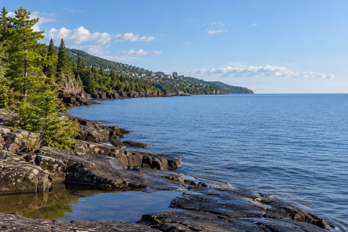
Duluth and Northeast Minnesota
Duluth, the North Shore of Lake Superior and the Iron Range towns from Hibbing to Ely.
Along the south and west shore of Lake Superior, a narrow band of lake clays is cut by the Nemadji River and its tributaries into gorges up to 150 feet deep. Inland, the Giants Range rises 200 to 400 feet along the northern edge of the Mesabi Range, where the iron formation has been heavily mined, and the land farther north is rolling, with bedrock outcrops and extensive bog. The counties here, from Carlton and Aitkin to Cook and Koochiching, all fall under the state's five-foot frost depth and its 60 pound ground snow load. Describe bedrock, wet ground and the length of any private road in the quote request.
Northwest Minnesota and the Red River Valley
Moorhead, Bemidji, Thief River Falls and the Red River Valley along the North Dakota line.
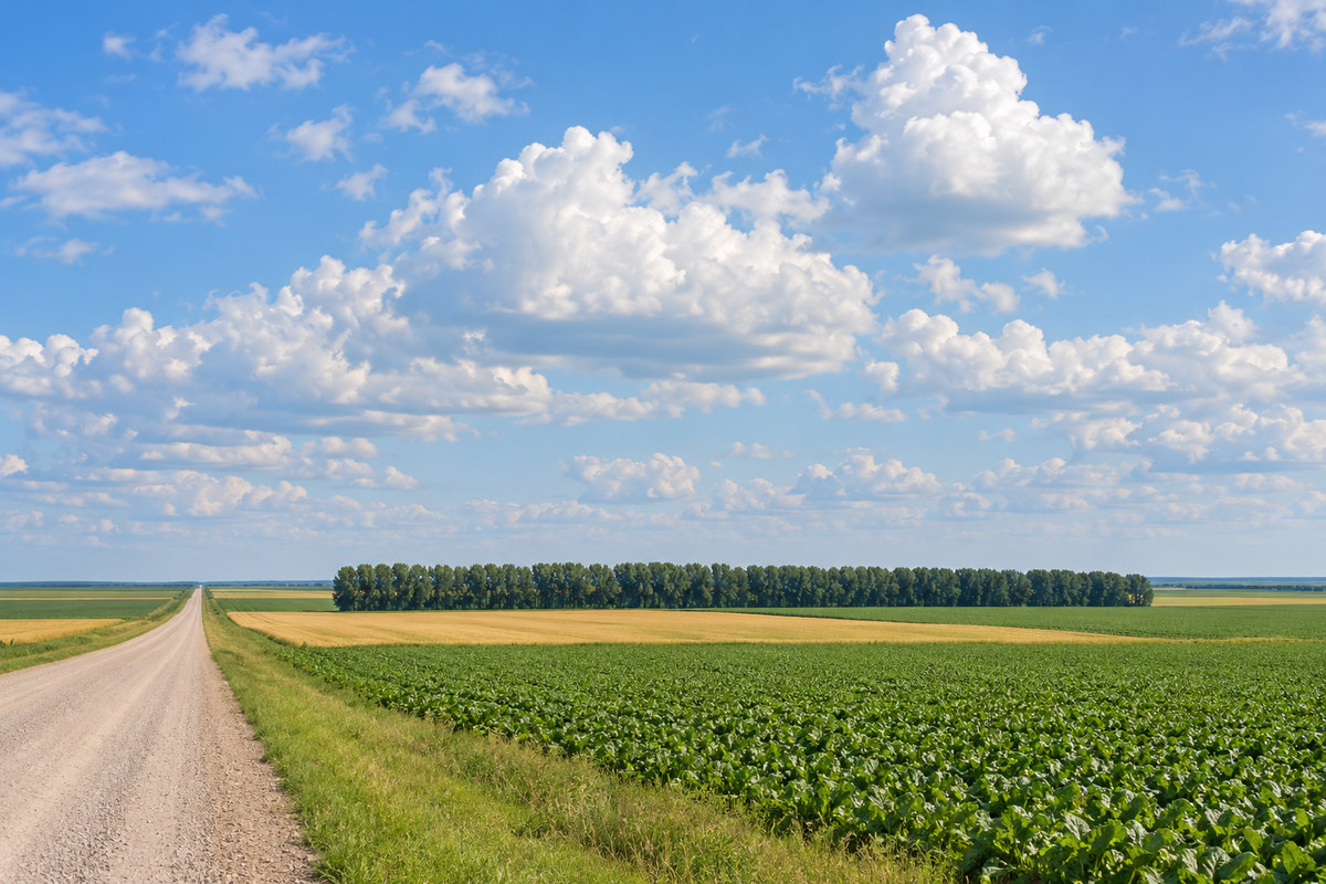
The Red River Valley is a level plain left by Glacial Lake Agassiz and drained north by the Red River and its tributaries. Its lake sediments and lake-modified till hold poorly drained soils, so a wet spring can leave a yard too soft for a loaded truck until it dries. To the east, the Hardwood Hills of Otter Tail and Becker counties bring kettle lakes and rolling ground.